The perspective below was authored by Jim Hicks, who for many years served as chairman of the Beaufort County Planning Commission and as a member of the Metropolitan Planning Commission. It appeared in the April 20 Edition of The Island News under the headline “Lady’s Island Is Rural In Nature,” and is published here in its entirety with permission of The Island News.
Recently there has been a good bit of interest expressed regarding the future of Lady’s Island and how best to protect those qualities that make it such a great place to live, work and raise a family.
Beaufort County and the city of Beaufort have plans to conduct a joint study of the island to determine how best to manage growth and protect those qualities which makes the island so special.
However, to develop a realistic plan or vision as to what the community should be in the future requires some understanding of what (zoning wise) it is today. As a starting point it should be recognized that Lady’s Island zoning was developed in 1999 specifically for Lady’s Island and has been adjusted over the years as changes and challenges have occurred.
The zoning for Lady’s Island consist of the following types – Community Preservation (residential), Village Center (commercial), Expanded Home Business (along each side of the 4 lane portion of Sams Point Road), Professional Office District (along Lady’s Island Drive) and Rural.
In future months a closer look at each type of zoning will be provided, but for this month let us look at rural zoning.
It was not that long ago that most of Lady’s Island was rural.
Today, even though the island continues to present a general rural appearance, only 6,864 acres (48 percent) of the 14,385-acre island is actually zoned rural or as designated by the Beaufort County Community Code T2-Rural.
The majority of the rural land on Lady’s Island is located on the northern part of the island, the land surrounding the Ashdale community and the property between the Lady’s Island Airport and Chowan Creek. There is a logical reason for each of these areas having a rural zoning.
The rational for the northern part of the island being zoned rural is that a good portion of it is in the flight path of the Marine Corps Air Station and it is also the location of a major aquifer recharge area.
The northern part of the island also includes over 200 acres of the Mitchell family property protected by a conservation easement, 65 acres jointly purchased by the Marine Corps and Beaufort County and 646 acres placed in a conservation easement by the late Dr. Bruce Pratt.
So thanks to the generosity of property owners and the initiative of the Rural and Critical Land Program, Lady’s Island has almost 1,000 acres of rural property under a conservation easement.
To insure this land remains rural, the Northern Regional Plan includes an agreement that although Lady’s Island is within the city of Beaufort growth boundary, the rural property in the northern part of the island will remain rural in zoning regardless of whether it is in the city or the county. This agreement does not include the rural property along Sea Island Parkway between the new Walmart and the Chowan Creek.
The property located along Sea Island Parkway from the new Walmart Supercenter to the Chowan Creek has remained rural over the years. This is primarily because much of it is wetlands, it is residential and the homeowners were very sensitive to anything that could result in increased taxes.
However, with the arrival of a new Walmart, requests have already been submitted to the city of Beaufort to annex the contiguous property and allow additional commercial endeavors in this area.
In April 2016 LIBPA and the Lady’s Island Community Preservation Committee requested the Northern Regional Plan Implementation Committee to take actions to preclude commercial “creep” along Sea Island Parkway from Walmart to Chowan Creek. The committee concurred that the property should remain rural and recommended the City of Beaufort and Beaufort County future land use map be changed to show this property as remaining rural.
As to housing in the rural portion of Lady’s Island there are today approximately 1,121 homes which translates to a density of one dwelling unit/6 acres.
Under the present rural zoning, which limits rural development to a maximum of one unit per 3 acres, there could be built another 1,949 homes in the rural areas of Lady’s Island.
Most of those homes would be built in developments which are located in the existing rural area and were approved in the past and are of the type (Planned Unit Developments) which is no longer authorized by current regulations. Examples of this type of developments include Coosaw Point (450 homes with a final density of 1.22 units/acre) and Coosaw River Estates/Sommerset Point 200 homes with a final density of 1.5 units/acre) and Pleasant Point (614 homes and 155 multifamily units with a final density of 1.46 units/acre).
So in the future approximately one out of every two homes in the rural area of Lady’s Island will be located in established planned unit developments and the remainder of the property will have one unit per 3 acres.
It can be anticipated that in the future, as part of the normal pressure of growth, there will be efforts to reduce the number of acres presently zoned rural or to increase the allowable density in the rural areas. Increasing the allowable density was proposed in the past and was denied.
For so many reasons increasing the allowable density in the rural portion of Lady’s Island, authorizing additional high density developments or allowing commercial “creep” along Sea Island Parkway should not be seriously considered and to which the term “just say no” applies.
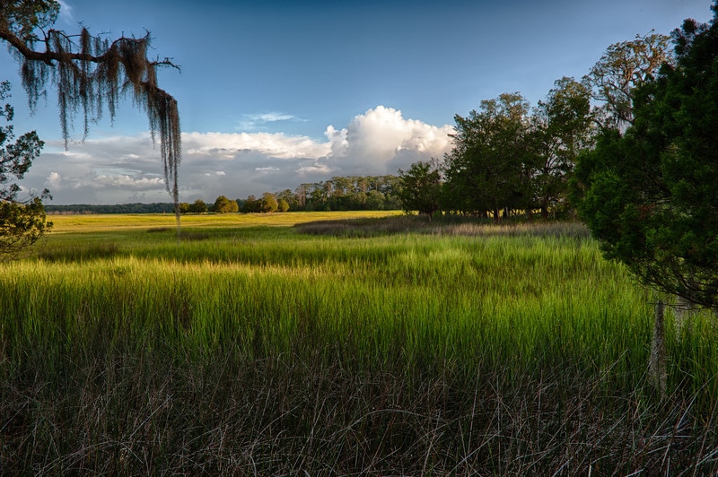
The rural nature of Lady’s Island, with its trees, wildlife and clean water, should be at the top of the list as things to protect when considering the future of the island.
__________________________
See also:
City Council To Discuss More Parkway Annexations Tuesday Night
Annexations Continues, Accountability Still Absent
How To Annex An Island